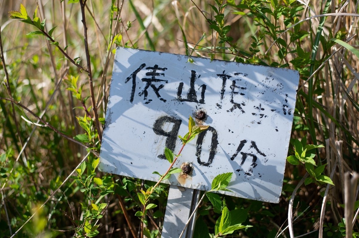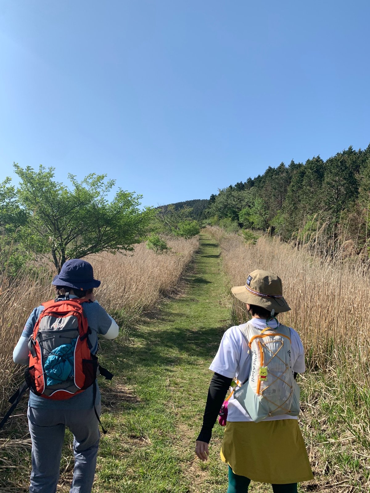
Mt.*俵山.南阿蘇
2023.4.22
九州縦貫高速道路を<益城.熊本空港インター>で降りて
熊本.高森線方面へ
この道沿いの町は熊本地震で大きな災害に見舞われた。
人々の生活は平常のように見えたが、まだまだ復興半ば
工事車両が土ぼこりを上げて行き交っていた。
前方山手の風力発電の風車まで上り詰めると
俵山登山口の俵山展望台駐車場(標高800m付近)に到着。
目の前に阿蘇山とそれを取り囲む外輪山の山々。ここ俵山も外輪山の一部である。
April 22, 2023, I took the Kyushu Longitudinal Expressway to <Mashiki. Kumamoto Airport Interchange> and headed toward the Kumamoto-Takamori line. The towns along this road were hit hard by the Kumamoto earthquake. People's lives seemed to be normal, but construction vehicles were coming and going. Perhaps they are still in the middle of reconstruction.
After climbing up to the windmills on the mountain in front of us, we arrived at the Tawarayama observatory parking lot (about 800 meters above sea level), which is the entrance to the Tawarayama trailhead. Aso and the surrounding outer rim mountains. Tawarayama is also part of the outer rim.


俵山の植物<春>

cafe galette
ここ南阿蘇はそばの里でもある。


カフェ ガレット
場所:熊本県阿蘇郡南阿蘇村3876 営業時間:11:00~17:00(O.S16:00)
定休日:火曜(月1回火と水曜日連休)公式Instagram:カフェ ガレット
電話番号:096-349-3255
