
Sir Ernest Shackleton

[Header Image Credit: AQR International via Pinterest]
A few articles relative to the subject
<1> Incredible new details of Shackleton's sunken Endurance ship revealed in 3D scan
<2> Newly discovered polar shipwreck may contain intriguing artifacts
<3> The incredible story behind Shackleton's Endurance shipwreck
A question might arise - aren't the above articles fake ? It is a legitimate question, and I am unable to rule out that possibility. But I surely won't compare Sir Ernest Shackleton's “Endurance” with Ourang Medan.
My personal experience
Here is a three-piece set relative to my personal experience with Sir Ernest Shackleton:


In April 1997, I went to Cape Cod, MA for a worldwide conference by the US company I worked for when I lived in Hong Kong. During the conference there was a learning session titled "Leadership at the edge" based on Sir Ernest Shackleton's expedition. I received ② & ③ in the training.
And one year later, my friend gave me ①, which I read a few times and is clearly torn.
All ①~③ are memories of the distant past when EE.UU still had sanity...
The location
Sir Ernest Shackleton rests in an island in the South Atlantic Ocean.
...this is as the boss would have had it himself, standing lonely on an island far from civilization, surrounded by a stormy tempestuous sea, and in the vicinity of one of his greatest exploits.
https://en.wikipedia.org/wiki/Ernest_Shackleton#Final_expedition_and_death
It is literally a remote island I mentioned in my article:


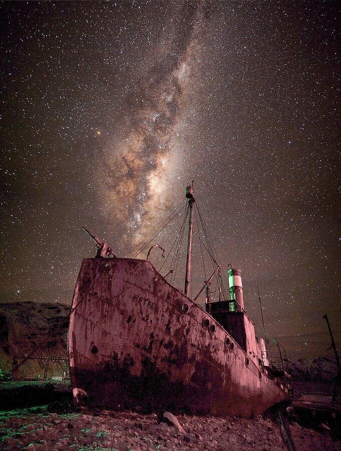
The place is called Grytviken.


P.S. (1) The article below tells about iceberg A23a:
P.S. (2) The map below clearly shows the location of Antarctica in relation to the other continents:

P.S. (3) For my travel to Cape Cod in April 1997, I took the following round-the-world route. It was before the formation of Sar Alliance and One World:
HKG/SIN SQ861 4/19/1997 18:00/21:25
SIN/ZRH SR187 4/19/1997 23:20/06:20+
ZRH/BOS SR126 4/20/1997 10:20/12:35
…
BOS/CVG DL1870 4/26/1997 17:30/19:48
CVG/SFO DL87 4/26/1997 20:45/22:30
SFO/HKG SQ1 4/27/1997 01:30/06:35+
■