SwisstopoサービスをQGISで使う

Swisstopo はすごく便利だけど、任意の縮尺で印刷できないので、QGISで Swisstopo サービスに接続してみました。
Swisstopo サービスを QGIS で使う手順
Swiss CRS EPSG:2056 を使用して QGIS プロジェクトを作成する。
Swisstopo-WMTS を新しい WMS/WMTS 接続として追加する。
URL: https://wmts.geo.admin.ch/EPSG/2056/1.0.0/WMTSCapabilities.xmlQGIS ブラウザを使用せず、メニューの [レイヤー] -> [レイヤーの追加] -> [WMS/WMTS レイヤーの追加] を使用する。
まず、そこに新しい WMTS 接続を作成する。
先ほど作成した接続に接続する。
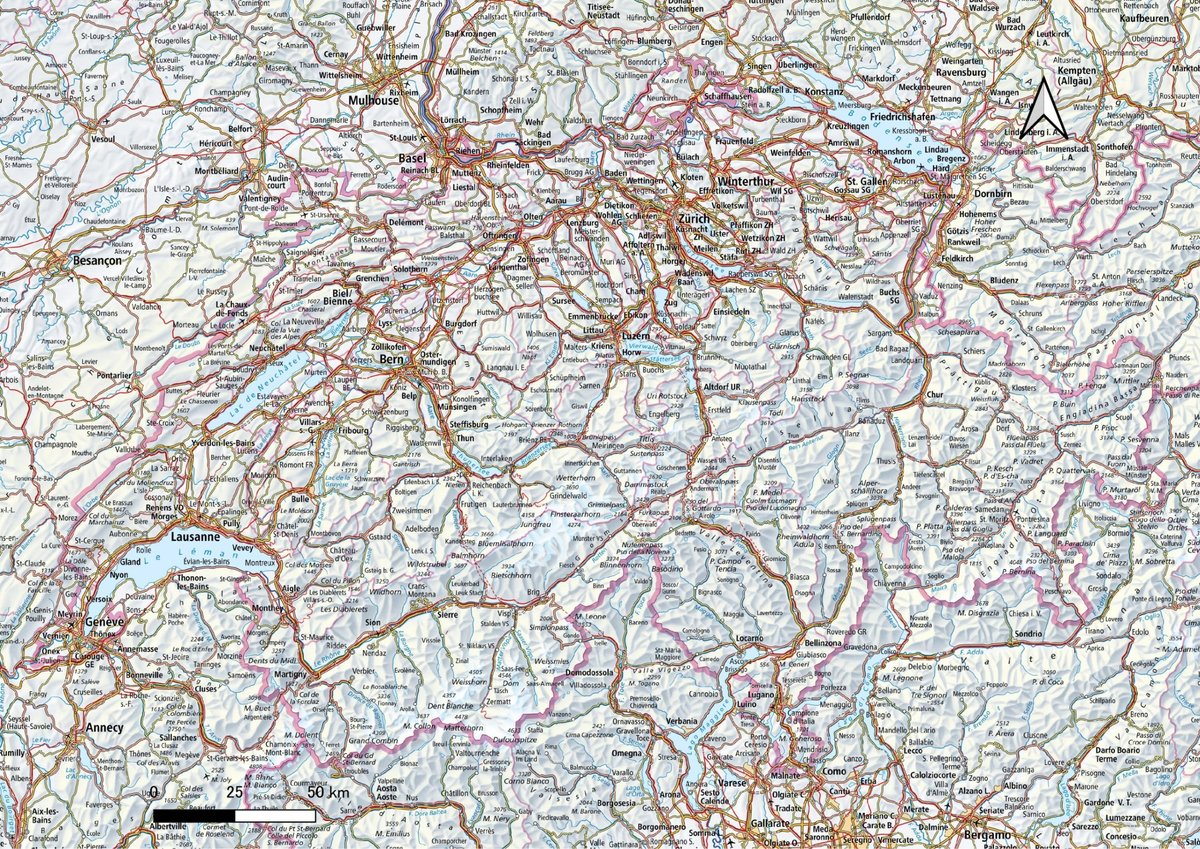
たとえば、リストからレイヤー「ch.swisstopo.pixelkarte-farbe-pk25.noscale」を選択し、追加をクリックする。2万5千分の1地形図が表示される。
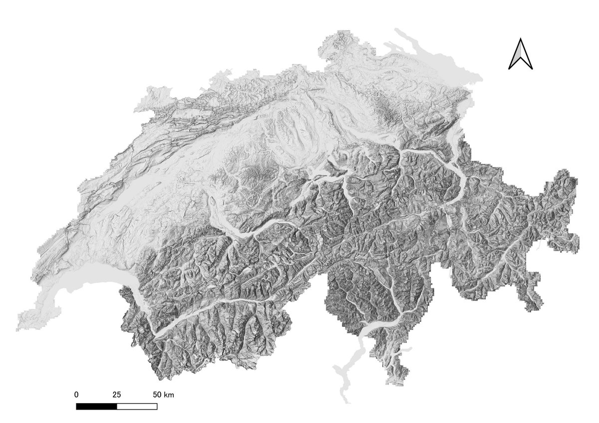
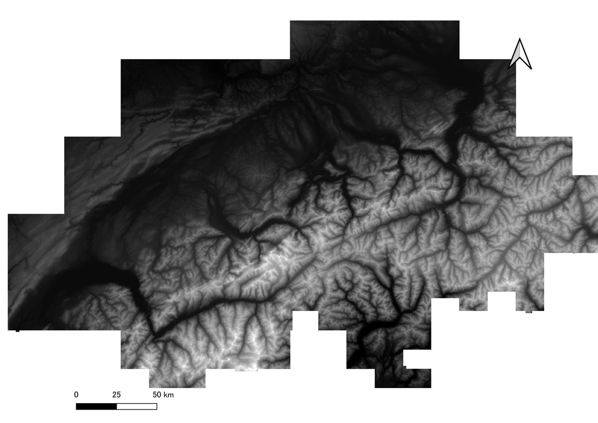
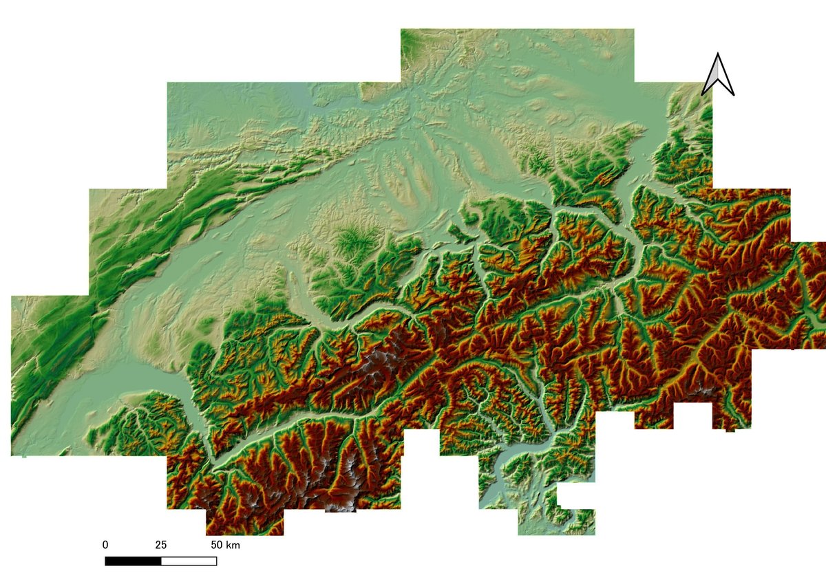
DHM25/200は Swiss CRS EPSG:21781 、200mメッシュ