【QGIS】QGISで地理院タイルの衛星画像・写真をベースマップとして表示させる

概要
QGISで国土地理院の地理院タイルを用いて衛星画像等を表示させる手順です.
「国土地理院 地理院タイル」と検索し,「地理院タイル一覧」をクリックします.

ページ中央のベースマップより写真を選択します.

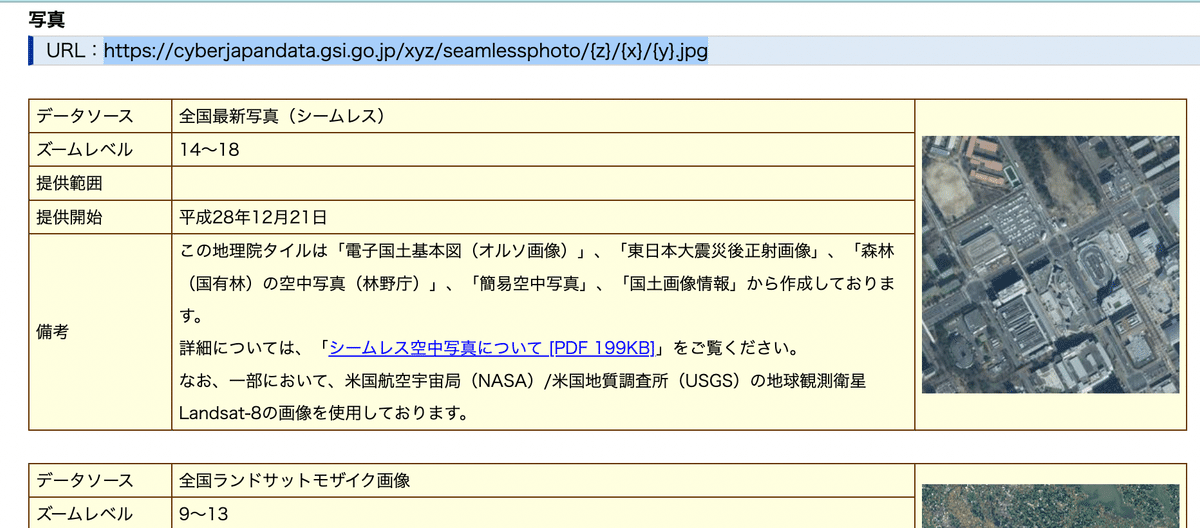
写真の欄のURLを選択しコピーします.そして,QGISのブラウザパネルより,XYZ Tilesより新規接続をクリックします.

名前を「写真(任意)」,URLに先ほどコピーしたURLを貼り付けOKをクリックします.

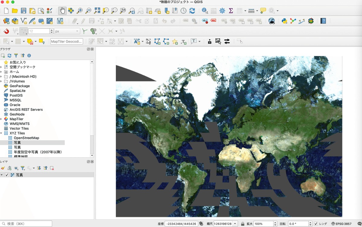
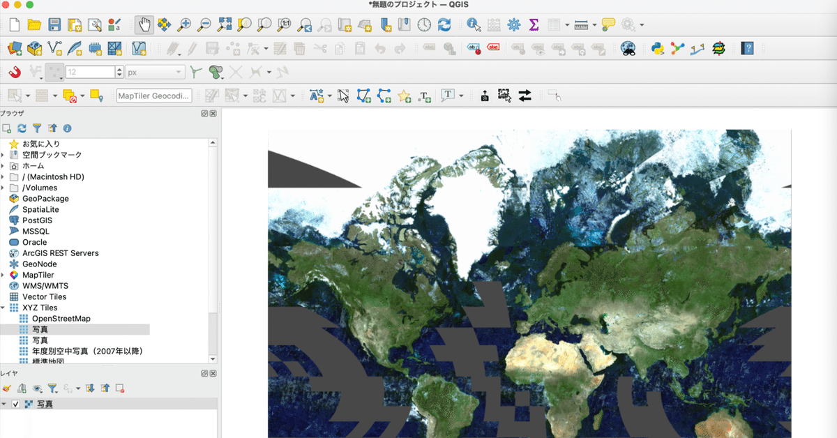
XYZ Tilesに出てきた写真をレイヤパネルにドラッグします.そうすると,QGISに写真が表示されます.